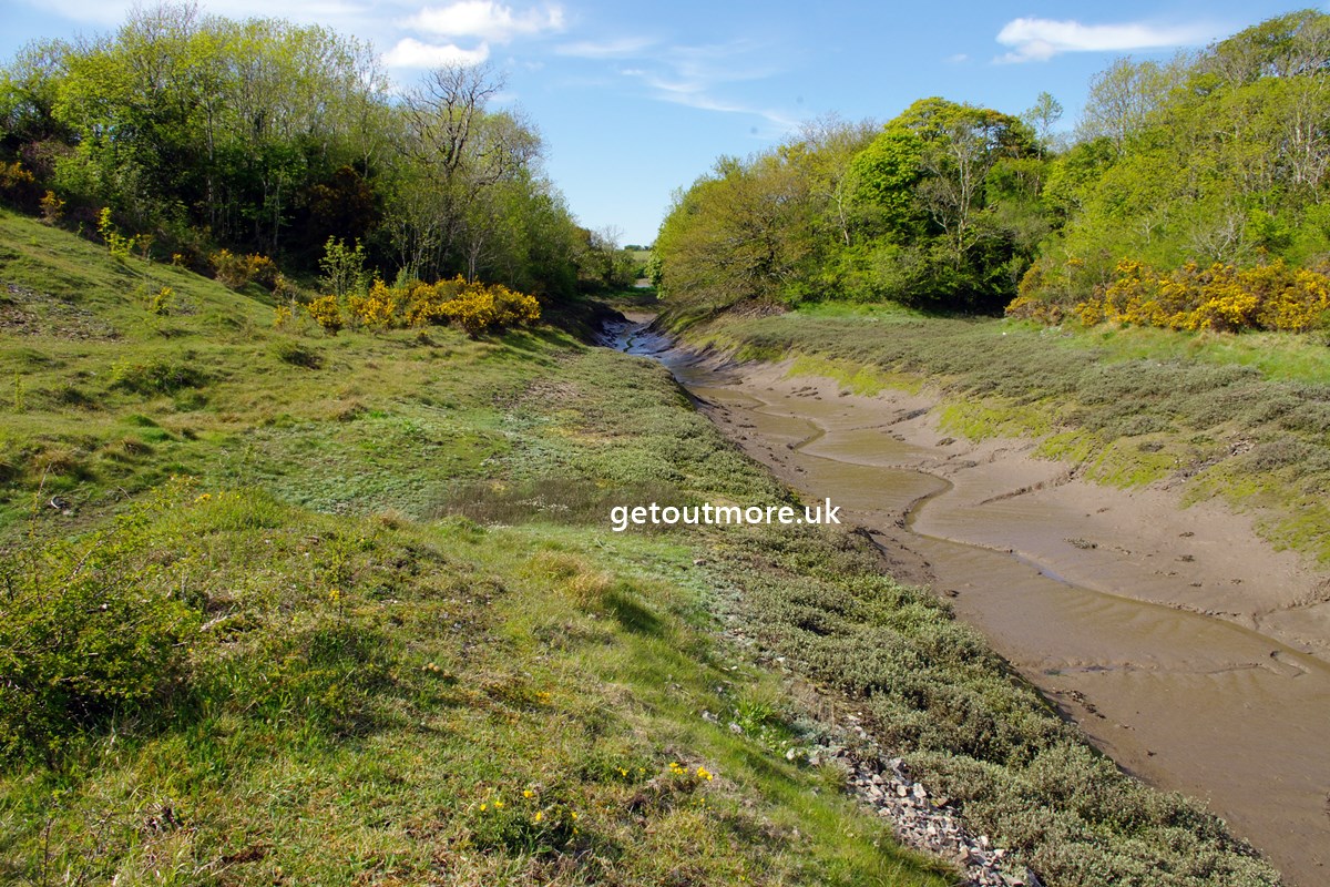
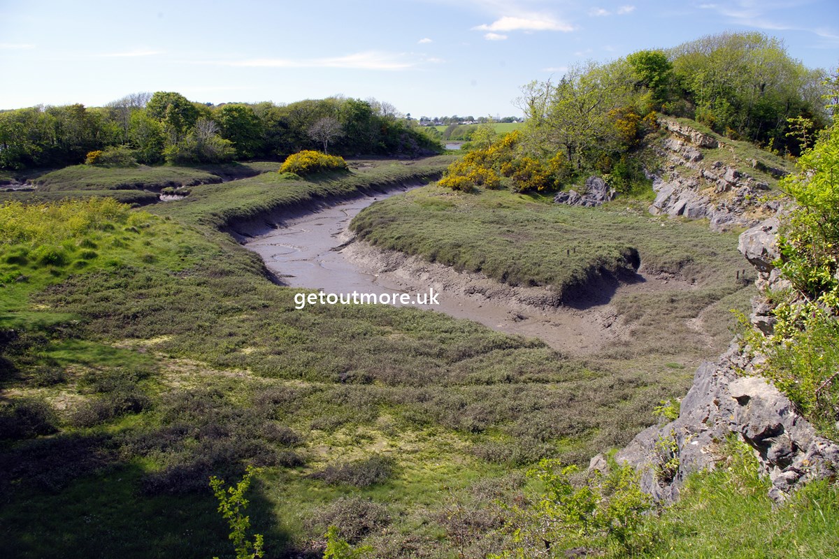
The former West Williamston quarries are situated on a promontory at the confluence of the Carew and Cresswell rivers. They now form part of the West Williamston nature reserve and consist of numerous wide muddy tidal creeks interspersed with outcrops of limestone. Parking for 3 to 4 cars can be found by turning off at the telephone box at the centre of West Williamston village. The space is approximately 200 yards along, just before a cattle grid. From here, continue (on foot) over the cattle grid and follow the public footpath down to and along the shore. This area is now a nature reserve, and there are paths through the woodland. Further along, a gap in the trees provides a short-cut into the old quarries.
Flora to be found here include bee orchids, yellow-wort, pale St John's wort, marsh mallow, glasswort and sea purslane. Insect life includes the comma and brown hairstreak butterflies, and unfortunately lots of horse flies in summer.