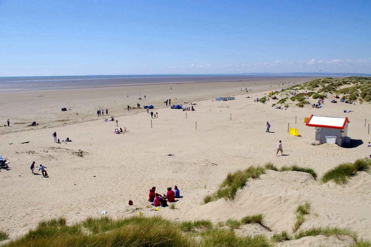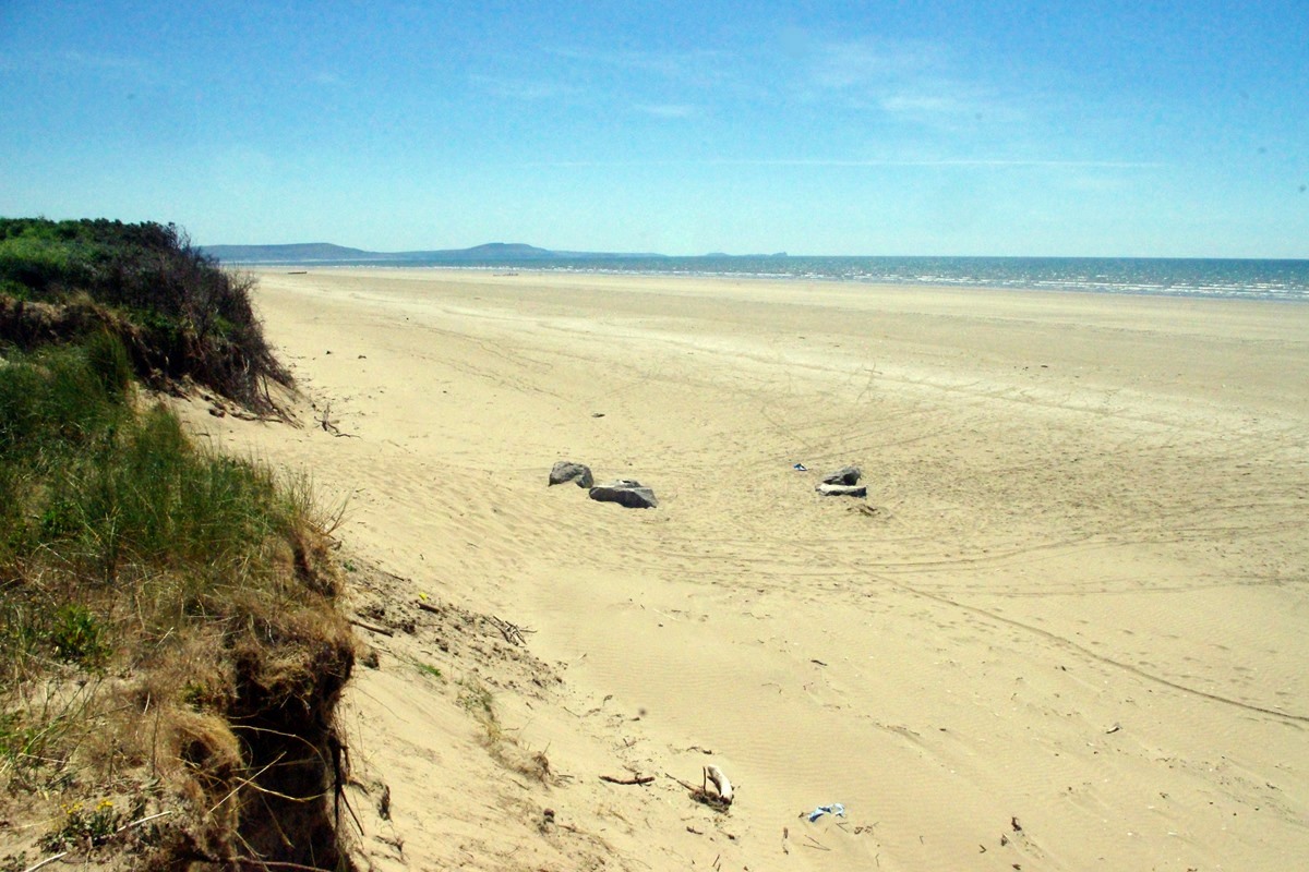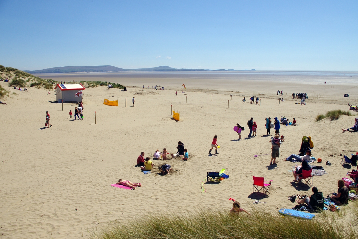
Pembrey Beach stretches 7½ miles from Burry Port harbour to Tywyn point near Kidwelly, and easily ranks as Carmarthenshire's best beach. The shore is fine sand backed by dunes with extensive sandbars at either end. Behind the dunes are (from E to W): the Saltings nature reserve, Pembrey Country Park, Pembrey Forest and RAF Pembrey. There are 10 access points to the beach, each with information boards and numbered CE51 to CE60. Dog restrictions apply between points CE53 and CE57 (about ¾ mile) from May to September inclusive and lifeguards patrol end of May until early September (10am - 6pm) during weekends and school holidays only.
Space is plentiful on this beach, but it is very exposed with little shelter from the wind. The sea warms up quickly and is noticeably warmer than other local beaches, particularly towards late afternoon. On a low tide, the sea can retreat almost a mile and you'd need to wade a few hundred yards more to reach any depth. The surf works best for an hour or two preceding the high tide but is often accompanied by a cross-current, necessitating much walking back along the beach. Rips are rare except near the sandbars, and it's generally a safe beach for beginners.
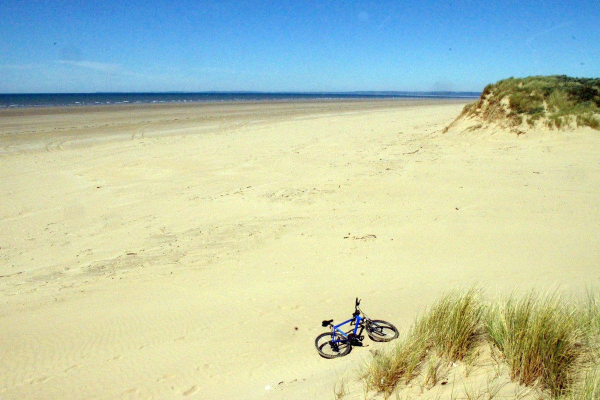
Approximately 1¼ miles west of the main beach access point is a rock groyne built to deflect waves. Beyond this, the last official access point (CE60) is approximately a mile further west. The dunes at this end are covered in sea buckthorn, which is pretty impenetrable. Westwards from CE60 for about 1¼ miles the beach is often deserted, even on a hot day. The boundaries of the RAF section of the beach are marked by orange tetrahedrons atop wooden poles and access is restricted, usually to evenings and weekends. Over the years, the sands have claimed over 180 ships and the remains of some of these can be seen towards the western end.
Pembrey Country Park (01554 742424) has good facilities including a dry ski slope, miniature railway, visitor centre, pitch & putt, cycle hire, barbecue areas, a cafe / ice-cream parlour, orienteering course, adventure playground, woodland walks and plenty of parking. Admission / parking charges apply to vehicles only, and a barrier controls entry. The entry system is totally automatic and works by number-plate recognition; you need to pay at one of three pay-stations (which accept coins, notes or cards) before you leave the park. Access to the beach from the car parks is a 200 yard walk, either over the dunes or on a tarmac road at the main beach access (CE56). Beach facilities here include toilets, a seating area, a beach kiosk, drinking water and cold water showers. A turning on the left about 400 yards before the park entrance leads past a small car park and continues as a narrow lane around the side of the park to a small, free parking area close to the beach.
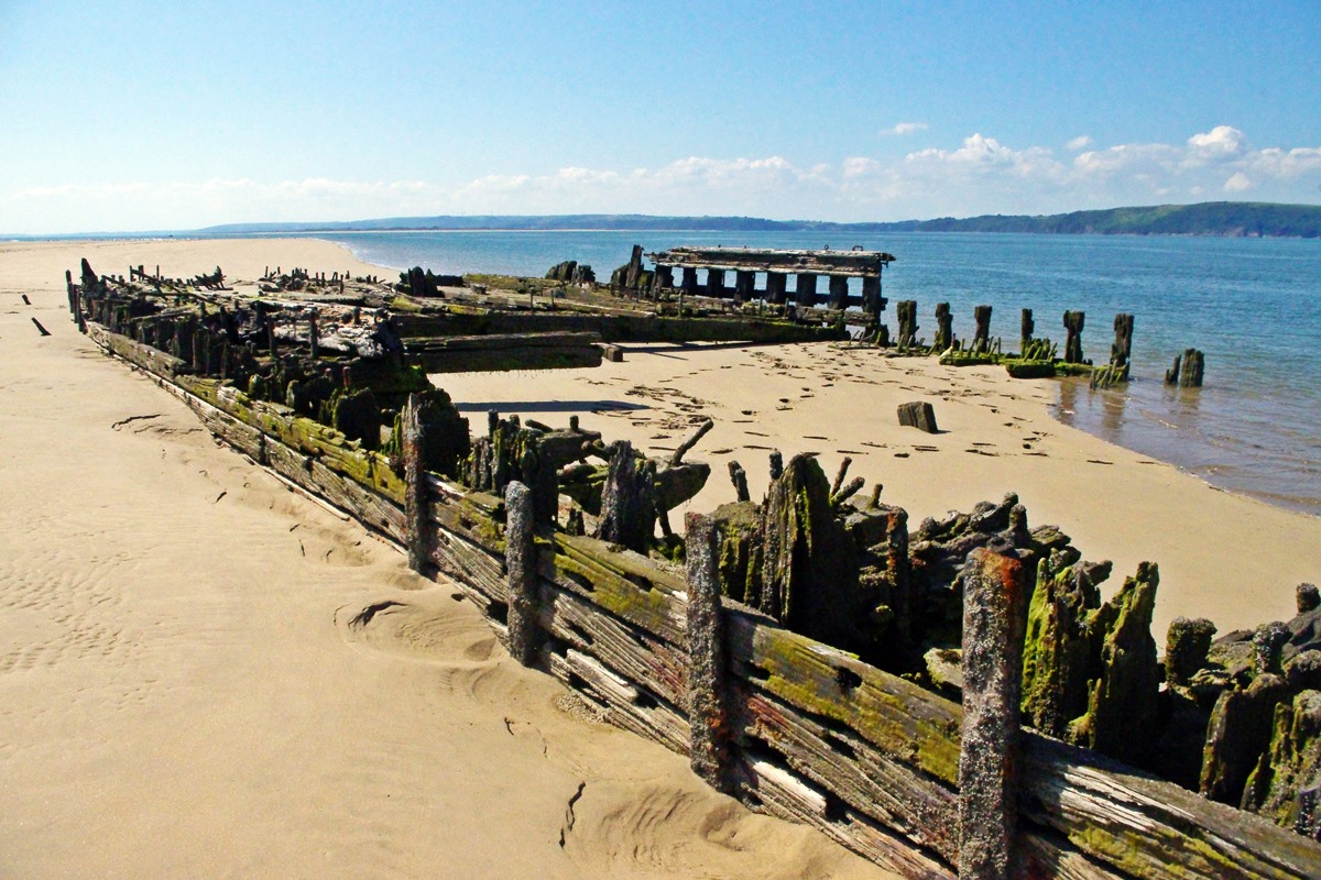
Wrecks. There are many wrecks on Pembrey Beach to the west of the main access. One of the largest is 'La Jeune Emma', near access point CE59, wrecked in 1828 bound for Le Havre and carrying a cargo of rum, sugar and coffee. Further west, near the RAF control tower, is the up-ended wreck of the iron barque 'The Teviotdale', which ran aground in a storm in 1886 sailing from Cardiff to Bombay with a cargo of coal. At the extreme western end of the beach at Tywyn Point, are the substantial remains of 'The Paul' - a 4-masted windjammer which ran aground in October 1925.
Pembrey Forest covers nearly 4 square miles, is predominantly Corsican Pine and managed as a nature reserve. It is supposedly haunted by ghosts of wreckers with lanterns (known as 'men of little hatchets') and was the location for one of the 'Most Haunted' TV programs.

